Osservare l’acqua dallo spazio — Water Monitoring from Space
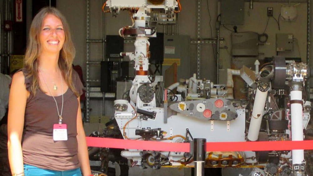
Si chiama WaMos Water Monitorin from Space e se ne occupa un’italiana, Elisa Fagiolini, che è CEO/CTO del progetto. In un’intervista concessa al centro di ricerca tedesco GFZ e ripresa da Perugia Today, Elisa ha spiegato che quando il ghiaccio sulla Groenlandia si scioglie, i ghiacciai perdono massa che scorre nel mare. Questo si può misurare dallo spazio, così come i serbatoi di acque sotterranee sotto la California sia quando stanno perdendo massa e anche quando il terreno è saturo d’acqua e quindi non può più assorbire la pioggia, aumentando il rischio di inondazioni. Con l’aiuto delle misurazioni dei campi gravitazionali, si possono prevedere sia la carenza d’acqua, sia le inondazioni.
WA.MO.S WATER MONITORING FROM SPACE Elisa Fagiolini #GZEHelmholtzCenterPotsdam #tempodacqua #thetimeofwater
It’s called Space’s WaMos Water Monitoring from Space. Elisa Fagiolini, who is CEO / CTO of the project, takes care of it. In an interview granted to the German research centre GFZ , also quoted in Perugia Today, Elisa explained when the ice on Greenland melts, the glaciers lose mass which flows in the sea. This can be measured from space. Another application is the measurement of groundwater reservoirs under California both when they are losing mass and when the ground is saturated with water and therefore can no longer absorb rain, increasing the risk of flooding. With the help of gravitational field measurements, both water shortages and floods can be predicted.
It’s used as measurements of gravity, i.e. gravimetry, to find out about the distribution of water on Earth. With the help of data from the satellite missions GRACE (2002 to 2017) and GRACE-Follow On (since mid-2018) we calculate maps of the Earth’s gravitational field every month. These maps not only depict continents and ocean basins with crusts of varying densities, but also the density and mass shifts in the Earth’s mantle as well as short-term changes in mass on and below the Earth’s surface.